Nho Que River courses through the 1,500m high Mount Nghiem Son. The river is approximately 46km long, 5km of which is at the border of two countries, China and Vietnam. The rest of the river courses through Cao Bang and Ha Giang.
Running through rugged rocks, it creates a waterfall in the middle of the valley. Nho Que River flows through the Tu San canyon and Ma Pi Leng Pass of Meo Vac district, it is far about 15kilometers from Lung Cu.
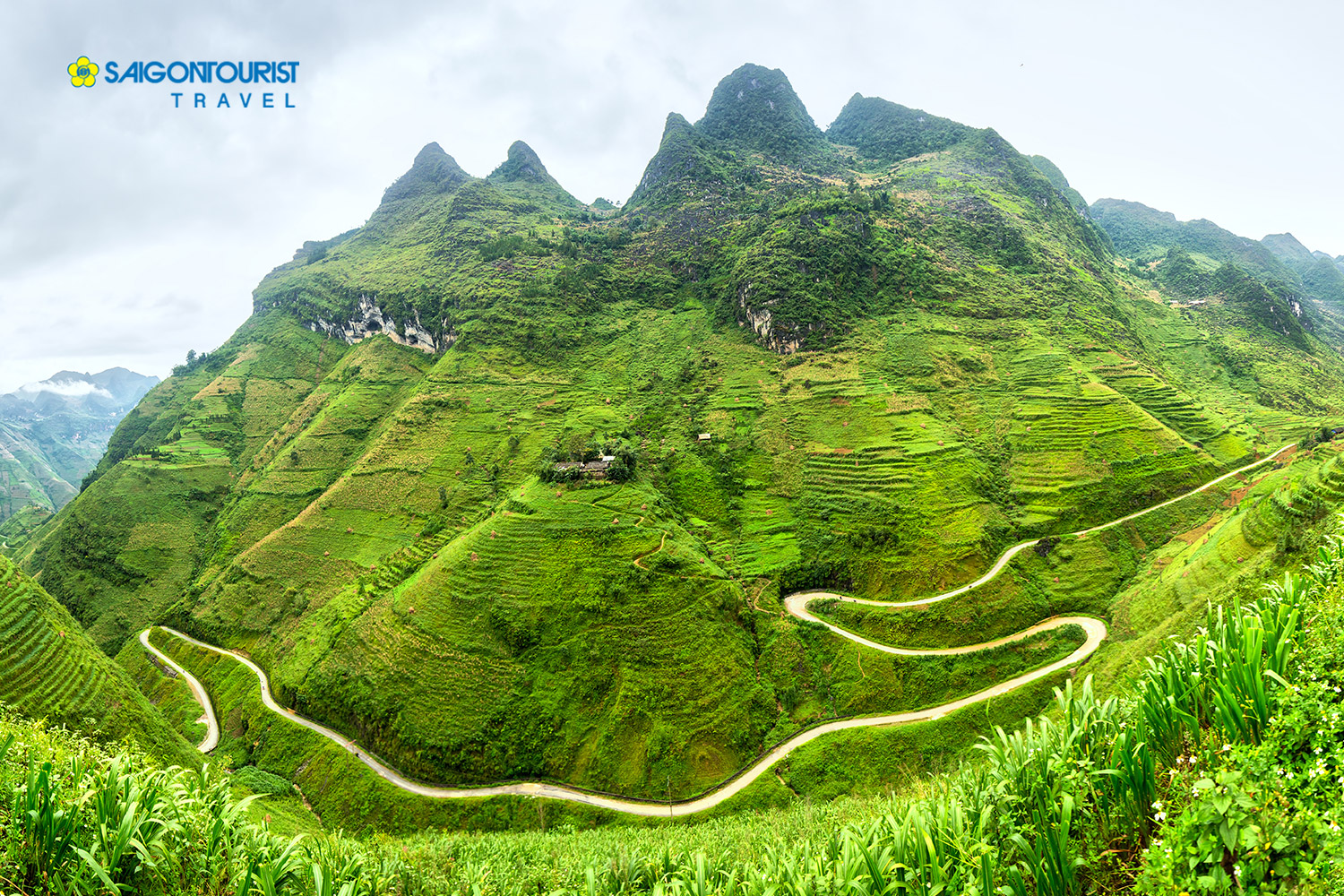
Trails from Dong Van to the Tu San western ravine are very deserted and winding. With a narrow path, a lot of rugged rock, it makes people scare when contemplating abyss.
Nho Que is a major tributary on the right bank of the Nhiem River. This is the river brings economic value to locals: serving plentiful water to agricultural activities in the dry season.
From the top of Ma Pi Leng looked down, Nho Que is peaceful, wild, and mysterious. You can feel the might of mountains, and rivers. It sometimes looks like a thread of the sky, sometimes looks like a dragon creeping gracefully through mountains, and clouds.
Related tour